Canals and aqueducts · Scotland
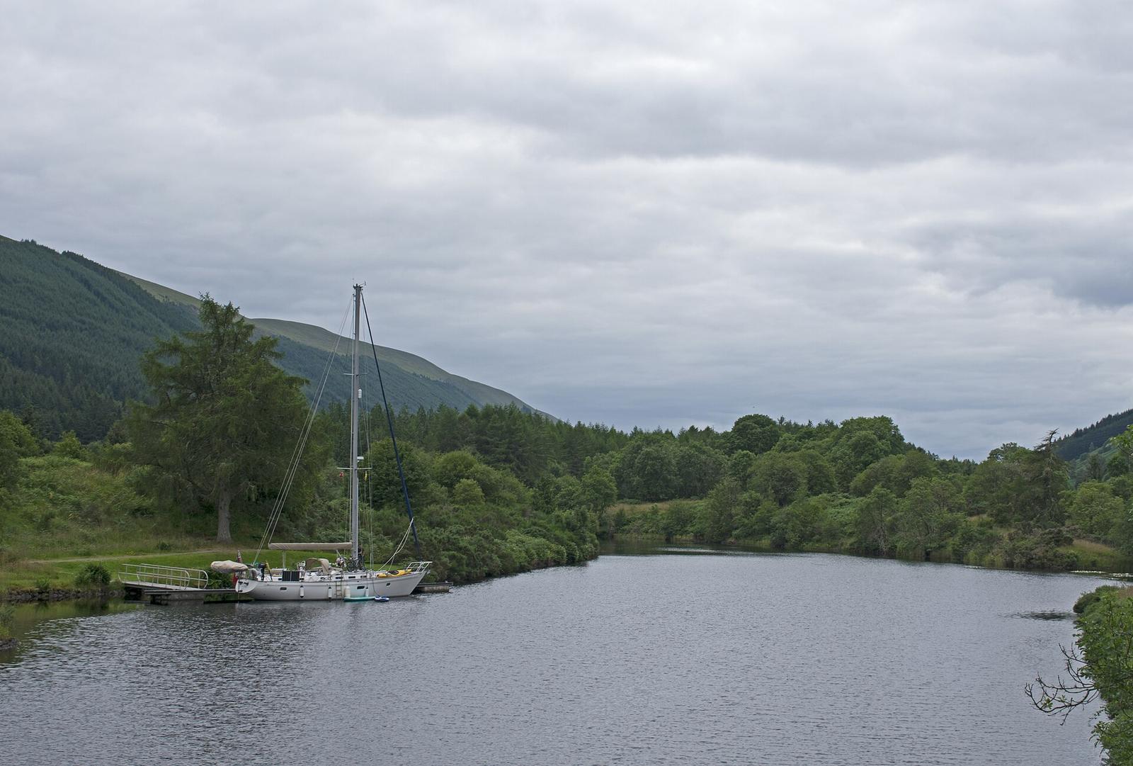
Caledonian CanalCanal by Thomas Telford (1822), Great Glen, Scotland
- Type
- Canal
- Built
- 1822
- Where
- Great GlenScotland
- Today
- In use
- Telford's part
- Engineer
- Location
- 57.0446, -4.8037approximate
The Caledonian Canal cuts across the Highlands from Inverness to Fort William, joining the North Sea to the Atlantic along the Great Glen. It is about 60 miles long, and only a third of that is man-made. The rest follows four lochs. It was Telford's largest single scheme, and it took twice as long and cost about twice as much as planned.
What you are looking at
The canal runs for about 60 miles (97 km) from Clachnaharry on the Beauly Firth to Corpach on Loch Linnhe. Around 23 miles (37 km) are artificial channel. The rest uses Loch Dochfour, Loch Ness, Loch Oich and Loch Lochy, which lie along the Great Glen fault. Loch Oich is the highest point. There are 29 locks, including the eight of Neptune's Staircase, and a series of aqueducts, culverts and swing bridges.
The scale was the point. The channel was designed 20 feet deep, 50 feet wide at the bottom and 110 feet wide at the top. The locks are 180 feet long and 40 feet wide, and they were the largest built anywhere at the time. They were meant to pass sea-going ships, including Royal Navy frigates of 32 and 44 guns. Today the largest boat the locks take is 45.7 metres (150 ft) long and 10.7 metres (35 ft) wide.
Who built it
James Watt surveyed a route in 1773, but his estimate frightened off the promoters. Parliament authorised the canal in 1803, and work began in 1804 with Telford as principal engineer and William Jessop as consulting engineer. Jessop died in 1814. The aim was to give shipping a safe route that avoided the Pentland Firth and Cape Wrath.
The first estimate was £474,000 and seven years. The canal opened on 23 October 1822, about twelve years late, at a cost of roughly £900,000. By then Napoleon had been beaten at Waterloo and the naval case for the canal had weakened. Defects in the construction material led to a partial collapse of the locks at Corpach and the bank at Cullochy, and the canal was closed from 1843 to 1849 for repairs under James Walker, who had worked with Telford.
Historic Environment Scotland notes that it is the only one of Scotland's five surviving canals funded entirely by public money. The whole canal is a Scheduled Monument. Telford also worked on the Göta Canal in Sweden.
The places on the canal
- Clachnaharry Sea Lock, the Inverness end. The lock stands on a man-made peninsula so that boats can always reach deep water.
- Fort Augustus Locks, five locks in a staircase that join Loch Ness to the canal.
- Neptune's Staircase, eight locks at Banavie that lift the canal about 64 feet.
- Corpach Sea Lock, the Fort William end.
Visiting
- Watch the locks. Neptune's Staircase and the Fort Augustus flight are the best places to see boats working through the chambers.
- Walk or cycle. The towpath runs beside the canal for much of its length. Surface and access vary, so check the route you want before you set out.
- Fort Augustus. A small heritage centre in the village covers the canal's history.
Scottish Canals runs the canal. Check its website for opening dates, lock times and any closures before you travel.
Questions people ask
How long is the Caledonian Canal?
About 60 miles (97 km), of which about 23 miles (37 km) are cut channel and the rest is lochs.
How many locks are there?
29, including the eight at Neptune's Staircase.
When did it open?
On 23 October 1822, although repairs and further work continued for many years afterwards.
Who designed it?
Thomas Telford, with William Jessop as consulting engineer until Jessop's death in 1814.
Why was it built?
To give ships a route across Scotland that avoided the long and dangerous passage round the north coast, and to bring work and trade to the Highlands.
Can you still sail it?
Yes. Scottish Canals manages it and the locks are still worked for boats.
On the map
Open on the full map · Directions